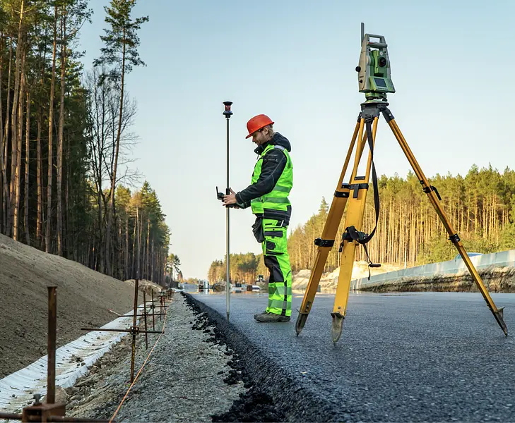
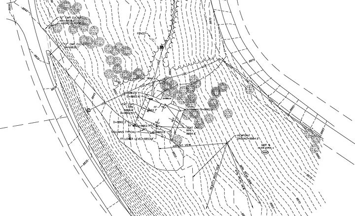
Accurate Topo Maps for Land Development

Precision land surveying services in Avon and surrounding Colorado areas.

Uploaded image
Uploaded image
Features

Benefits of Our Topo Map Services

  • Detailed Terrain Data

    Our topo maps provide precise elevation and land features to support your construction or development projects.

  • Enhanced Planning Accuracy

    Accurate topographic information helps in making informed decisions during project planning and design.

  • Time and Cost Savings

    High-quality surveys reduce delays and prevent costly mistakes by providing reliable site data.

  • Local Expertise in Colorado

    Our experienced team understands the unique terrain of Avon, Vail, Aspen, and nearby areas for tailored surveying solutions.

Start Your Land Project with Accurate Topo Maps

Contact Precision Land Surveying today for expert topographic mapping services in Avon and beyond.

FAQs

Frequently Asked Questions about Topo Maps

Get answers to common questions about our topographic mapping services.

Question

What is a topographic map used for?

A topographic map provides detailed information about the terrain's elevation and features, essential for construction, landscaping, and planning.

Question

How does Precision Land Surveying create topo maps?

We use advanced surveying equipment to collect precise field data, which is then processed to produce accurate topo maps.

Question

What areas do you serve for topo mapping?

We provide topo mapping services in Avon Co, Vail Co, Aspen Co, Summit County Co, Glenwood Springs Co, Edwards Co, Eagle County Co, Basalt Co.

Question

How long does a topo survey typically take?

The duration depends on the size and complexity of the site; our team provides an estimated timeline during consultation.

Question

Can topo maps assist with construction projects?

Absolutely. They help engineers and contractors understand the terrain to design effective foundations and drainage systems.

Question

Do you offer other surveying services alongside topo maps?

Yes. We also provide boundary surveys, location surveys, land survey plats, and more to support your project needs.

Get an Estimate