Precision Land Surveying
Our specialties
WHY OUR FEES REFLECT THE VALUE
WHAT YOU’RE REALLY PAYING FOR
WHO WE’RE A GREAT FIT FOR
EXPEDITED SERVICE

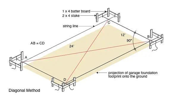
Detailed surveys for building sites and structures to ensure accurate project planning.
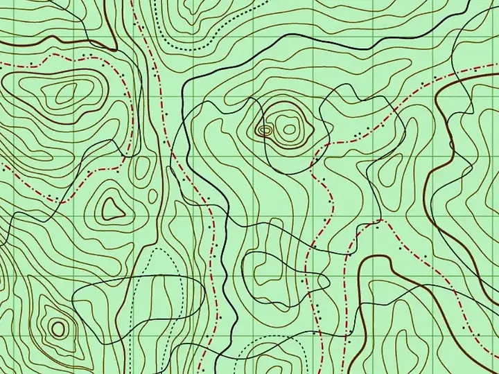
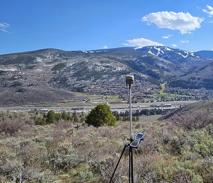
Create detailed topographic maps for construction and land development needs.
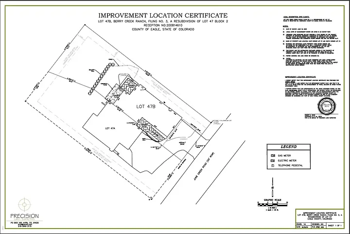
Certified location reports to verify property improvements and boundaries.
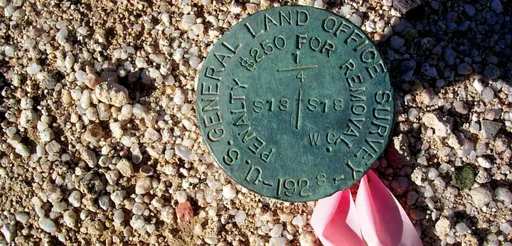
Establishes legal property boundaries.
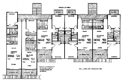
Ownership boundaries for multi-unit properties.
Seamless surveying from closing through construction layout with one point of accountability.